Flooding is an inevitable natural process and while the Kettle Creek Conservation Authority, through its planning and regulations program, limits the number and type of structures built in the flood plain, flooding in developed areas still occurs. Therefore, KCCA operates a Flood Forecasting and Warning System to provide municipalities and residents with accurate advanced warning of possible high water levels and flood events. KCCA is responsible for issuing flood warnings and the municipalities are then responsible for responding and providing assistance to residents as required according to their own Municipal Emergency Plan.
In addition to riverine flooding (high creek levels), KCCA issues notices for damage which may occur due to lake level surge along Lake Erie shoreline in Port Stanley. The information KCCA uses to monitor changing watershed conditions comes from a variety of sources including, but not limited to:
A network of stream gauges, rain gauges and dataloggers;
Snow course surveys;
Stream flow discharge measurements;
The Ministry of Natural Resources messages, and
Field observations.
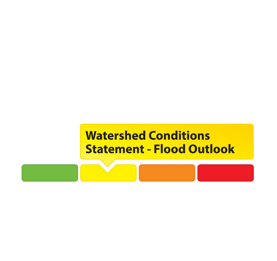
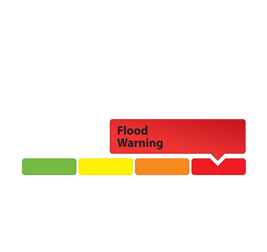
Current Flood Status
Flood Messages and What They Mean
Normal No flood conditions exist.
Watershed Conditions Statement – Water Safety High flows, unsafe banks, melting ice or other factors that could be dangerous for recreational users such as anglers, canoeists, hikers, children, pets, etc. Flooding is not expected.
Watershed Conditions Statement – Flood Outlook Early notice of the potential for flooding based on weather forecasts calling for heavy rain, snow melt, high wind or other conditions that could lead to high runoff, cause ice jams, lakeshore flooding or erosion.
Flood Watch Flooding is possible in specific watercourses or municipalities. Municipalities, emergency services and individual landowners in flood-prone areas should prepare.
Flood Warning Flooding is imminent or already occurring in specific watercourses or municipalities.
Staff Contact
Jennifer Dow Water Conservation Supervisor Tel: (519) 631-1270 ext. 228 Email
Worried about flooding?
For up-to-date flood information, watershed residents and businesses can connect with KCCA socially on Facebook.